Werribee Gorge: In Which We Scramble Up Rocks and Learn Things
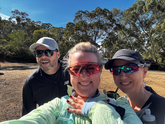
This walk has been on the list for a while for a redo and with Mt Feathertop on the agenda in 7 weeks it seemed like a perfect training hike with Katrine and Jase.
We did the Gorge Circuit from Meikles Point Picnic Area which was 7ish kilometres with about 356m of elevation gain, and somewhere around 2 hours depending on how long you stand around at the viewpoints pretending you're stopping to take photos when really you're just catching your breath.
The drive out from Melbourne takes about an hour along the Western Freeway, exiting at Myrniong just past Bacchus Marsh and winding up through Pentland Hills Road to Myers Road. It's a pretty drive especially if you’re directionally challenged as I am and miss the turn offs. There are three car parks along Myers Road and we used Meikles Point, which drops you right at the river and gives you the full circuit in either direction. Anti-clockwise is recommended by basically everyone but we bravely went in the clockwise direction.
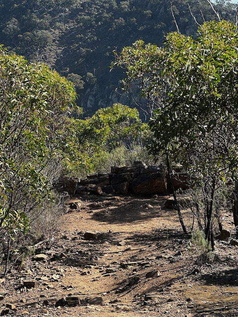
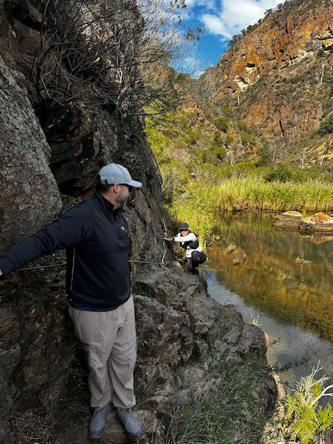
The first section follows the Werribee River through the gorge at river level, which is spectacular and also involves actual rock hopping. Not metaphorical rock hopping. Actual rocks, in the river, that you hop across. With the help of a wire.
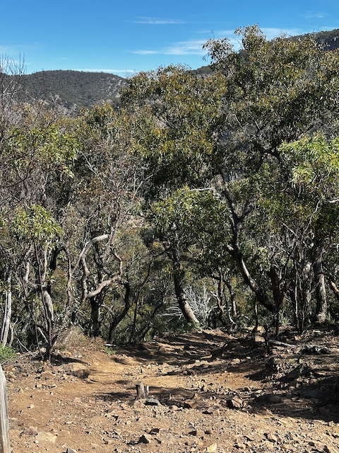
From the river you climb up to the rim walk, which is where it gets genuinely beautiful. There are viewpoints looking out over the full depth of the gorge and they are the kind of views where you stop talking mid-sentence because your brain has switched modes from "hiking" to "just look at that." The Western and Eastern viewpoints are both excellent.
The descent back down is where I really started thinking about Feathertop. My toes had opinions. They were not quiet about it. Jase and Katrine appeared to be entirely unbothered, so I mostly kept the opinions to the internal monologue space.
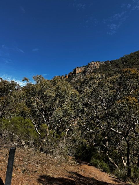
Here is the thing about Werribee Gorge. The first time you see it, especially from up on the rim, it looks like something humans did on purpose. The walls are angular and raw and the layering in the rock face has that very deliberate, organised quality. You keep expecting to see machinery.
But it's entirely natural, and the explanation is much more interesting than a quarry.
The gorge started forming about a million years ago when movement along a fault line in the earth's crust steepened the gradient of the Werribee River. A steeper gradient means more energy, more energy means more cutting, and the river has been slicing downward ever since. The name "Werribee" is thought to come from the local Aboriginal word for "backbone," which is perfect, because that's exactly what it looks like from above.
What the river has been cutting through is the genuinely wild part. The cliff faces expose about 500 million years of geological history in layers, which makes Werribee Gorge something of a time machine you can walk through while complaining about your knees.
At the bottom: Ordovician turbidites, which are ancient deep-sea sediments that got folded and buckled by enormous tectonic events around 380 million years ago. This is why some of the rock faces have that dramatic vertical layering that looks like someone tipped the whole thing on its side. They did. Tectonically.
On top of that: Permian glacial deposits. This is the bit that broke my brain a little. Around 300 million years ago, Australia was part of the supercontinent Gondwana and sitting near the South Pole. The whole region was covered by a continental ice sheet, and that glacier advanced and retreated multiple times. The evidence is still there in the rock as tillite or diamictite: a muddy mix of granite, quartz, shale and chert pebbles all tumbled together and dropped when the ice melted. The chaotic, mixed-up look of those sections? That's a glacier, frozen in stone.
And sitting on top of all of that: basalt lava flows from volcanic eruptions a few million years ago, from nearby volcanoes including Mt Blackwood. The Rowsley Fault uplifted the Pentland Hills escarpment around 2.5 million years ago, which gave the rivers draining off it the steeper gradient to start carving these gorges in the first place.
So the "quarry" look is actually just 500 million years of geological drama exposed by a river that has been quietly going about its business for the past million. Which is, honestly, more impressive than a quarry.
The Gorge Circuit is not a hard hike. I want to be clear about that, mostly because Feathertop via the Razorback absolutely is (around 21km return, up to 1,600m of elevation gain, exposed ridge walking, no cables). Werribee is not practice for the hard bits of Feathertop. Werribee is practice for the getting-off-the-couch bit.
But it was useful. The scrambling sections felt fine, which was reassuring. The descent told me things about my legs that I needed to know, specifically that I need more downhill kilometres before May or my knees are going to be absolutely furious with me. And the cable section was a good reminder that exposed traverses require your whole brain, not the bit that's still thinking about the view from the last lookout.
Summary
Summary
Type: Loop
Distance: 7.6km
Time: 2 hours
Elevation Gain: 252m
Difficulty: Grade 3 / Medium
Amenities: picnic area and toilets at Meikles Point, Quarry Picnic Area also has facilities
Dogs: not allowed (hard no, park-wide)
Next up: more hills. Many more hills.